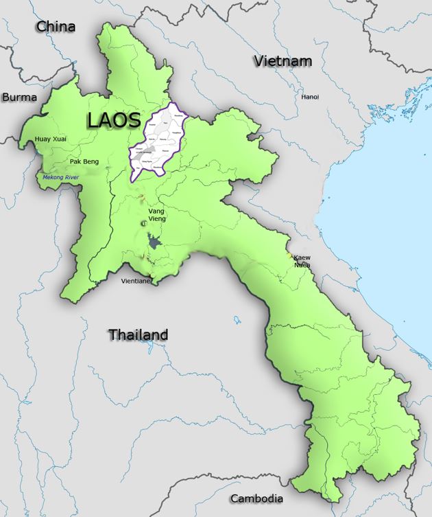
Luang Prabang Province one of the provinces of Laos, covers an area of 16,875 square kilometers, located in the north of the country and about 400km from Vientiane (capital of the country). The province’s population is estimated to currently 430,000 inhabitants, consisting of 12 different ethnic groups. Luang Prabang District itself has a population of approximately 47,378 inhabitants, and the protected zone has 24,000 inhabitants.
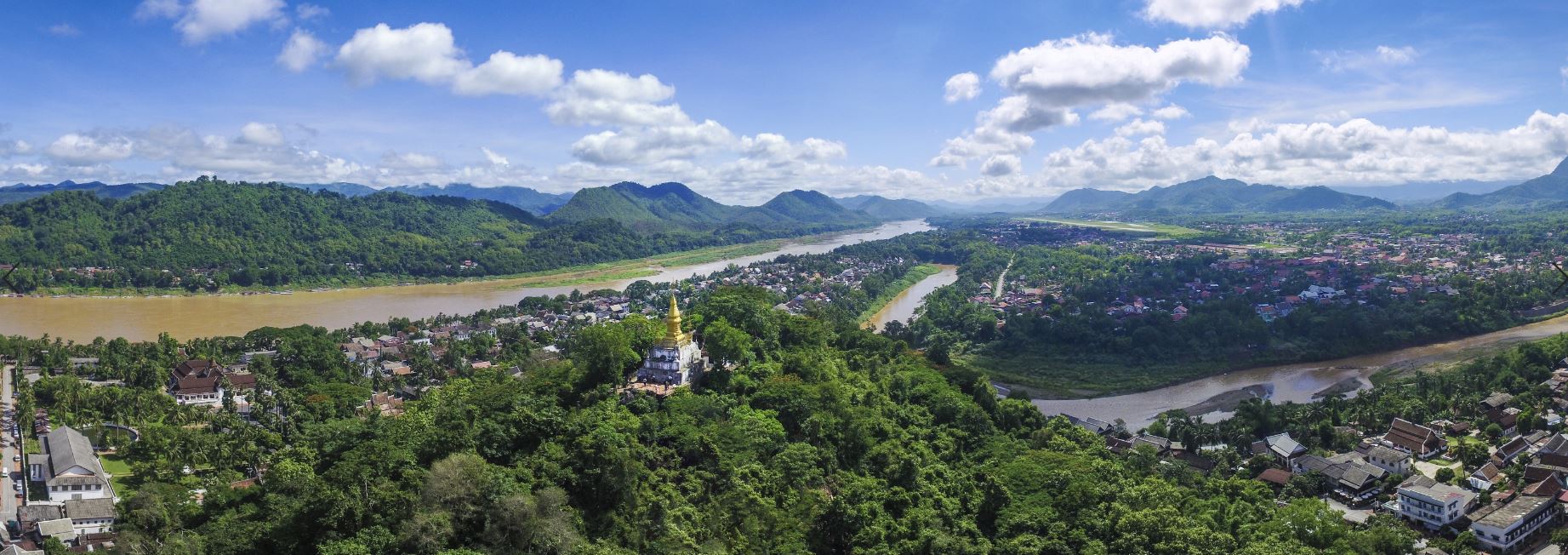
The province borders Phongsali Province to the north, Vietnam to the northeast, Houaphan Province to the east, Xiangkhouang Province to the southeast, Vientiane Province to the south, Xaignabouli Province to the southwest, and Oudomxay Province to the west. The provincial capital and old seat of the kingdom, Luang Prabang city, can be accessed via Bangkok Airways, Lao Airlines, or Vietnam Airlines who all service Luang Prabang International Airport. The capital is situated on a narrow peninsula that bisects the conjunction of the Mekong River, flowing south along the west side of the city, and the Nam Khan, a tributary of the Mekong that flows from the east but angles north just before the confluence of the two rivers.
The tip of the peninsula is the site of a wat that was frequented by the royal family when it resided there and is still a site of devotion for local Lao Buddhists as well as increasingly frequent tourists. In the center of the peninsula is a Mount, Phousi, which despite the constrained scale of the city, is 150 meters high; a steep stair leads to a shrine and an overlook of the city and the rivers.
The city is built on an exceptional site formed by the confluence of the Mekong and the Nam Khan. The two rivers form a 300 m wide and 1 km long peninsula surrounded by mountainous massifs (Phou Thao, Phou Nang, Phou Xang, Phou Xuang) and remarkable sites such as the Tham Ting caves, Nam Thieng, Nang An and the waterfalls of Khouang Si and Tat Se.
In the center of the historical city stands the sacred Mount Phousi, an undisputed place of visit for tourists who climb to the top to admire the magnificent view of the city. The prehistoric site of Xieng Lek (3500 BC) and the cultural diversity offered by its multiracial population make it a unique city.
History
Luang Prabang has sometimes been called the “City of the 15 families of Nagas” (from Pali naga: a mystical snake symbolizing strength) or “City of 65 monasteries”, and in more recent times, the “Jewel of South East Asia”.
According to written evidence from the VIIth century, the city’s first name was Muang Sua. The Khuon Chuang Dynasty governed Luang Prabang for four generations before being overthrown in the VIIIth century by Khoun Lo, one of Khoun Boulom’s seven sons.
This city was later called Muang Lan Xang, or Lan Xua, in the form “Muang Xua”. Then, from the XIIIth to the XVth century, the state was named Xieng Dong Xieng Thong.
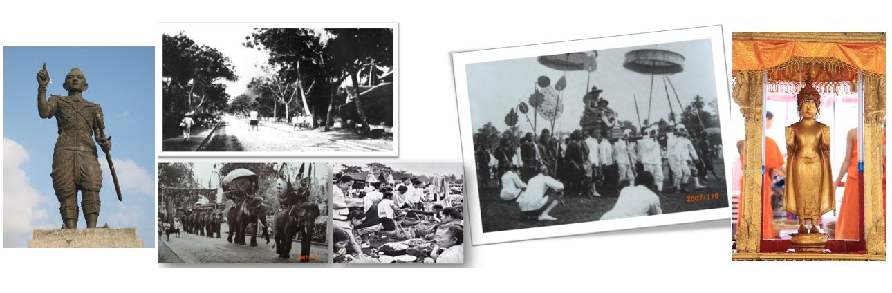
Finally, it should be said that the real splendor of Luang Prabang began with the reign of Fa Ngum in the XIVth century. (1er sovereign of the Kingdom of Lane Xang from 1316 to 1373).
In 1358, King Fagnum took the Prabang, a statue of Buddha offered by the King of Cambodia, to Muang Vieng Kham.
In 1489, the Prabang was installed at Muang Xieng Thong to be revered by the people. As a tribute to this legendary statue, the name of the city became Luang Prabang.